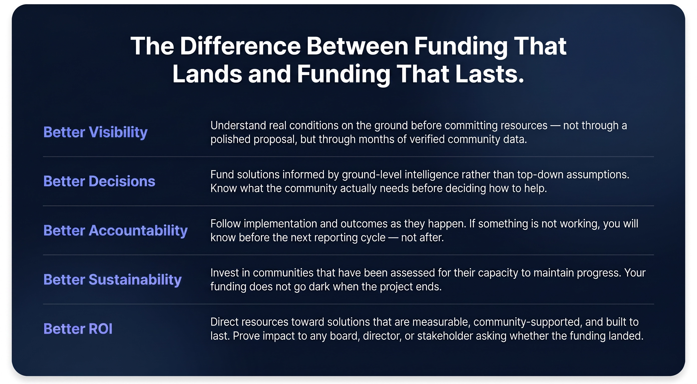
From Community Intelligence To Measurable Outcomes
After five Collective does not parachute into communities and leave. We build the data infrastructure that connects what communities already know to the funders positioned to act on it — and we stay until the outcomes are real, documented, and sustained.
Here is exactly how that happens.
STEP 01
Communities Surface What Institutions Cannot See.
Residents, community leaders, and local organisations document environmental risks, infrastructure challenges, and resilience opportunities through the AlerteUnité platform — in real time, from the ground up.
Because these communities live with these realities every day, they identify what is breaking, what is missing, and what is coming long before any formal assessment begins. That is not a soft benefit. It is a structural intelligence advantage that no top-down monitoring system can replicate.
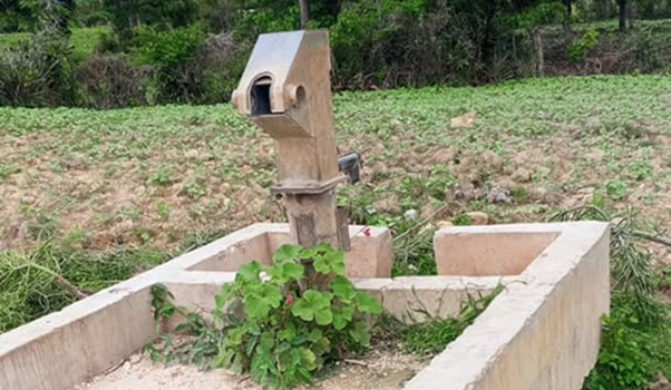
The community already knows. AlerteUnité makes sure that knowledge goes somewhere.
Step 02
The Data Gets Verified Before It Goes Anywhere.
Local verifiers and trusted community partners validate what has been reported — adding context, confirming conditions, and flagging anything that requires escalation.
This is what separates community observation from institutional intelligence. AlerteUnité does not hand funders raw data. It hands them structured, verified, decision-ready evidence — the kind that holds up in a board meeting, a funding review, or an audit.
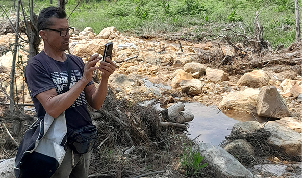
Community observation becomes institutional proof. That is the transformation.
Step 03
We Assess Whether a Community Is Ready for Investment.
Not every challenge identified by a community is ready for investment. Before an opportunity is presented to a funding partner, AlerteUnité assesses community participation, local leadership, coordination capacity, long-term sustainability, implementation feasibility, and environmental impact.
This is what separates community needs from investment-ready opportunities. Funders are not reviewing proposals. They are reviewing verified findings — supported by evidence, local context, and an assessment of whether a solution is positioned to succeed.
Implementation with dignity. That is what creates loyalty, sustainability, and real long-term impact.
Step 04
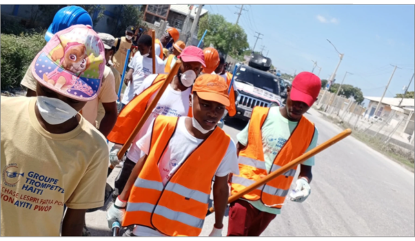
Funding Reaches the Community Through Trusted Local Structures.
When a project is ready, funding moves through trusted local organisations, technical specialists, and community structures already embedded in the context.
Residents are not passive beneficiaries waiting for an outcome to be delivered to them. They are active participants in implementation — because a community that has ownership over what gets built is a community that protects it long after the funder has moved on.
Step 05
Funders See Exactly What Is Happening, As It Happens.
Monitoring begins before implementation and continues throughout project delivery and beyond. Funders gain real-time visibility into the conditions and outcomes that matter most. They often identify opportunities long before formal assessments.
The Opportunity Is Already There. We Help You See It.
Bring your mandate. We will provide the community intelligence, the verified proof points, and a clear path to outcomes you can stand behind.
